
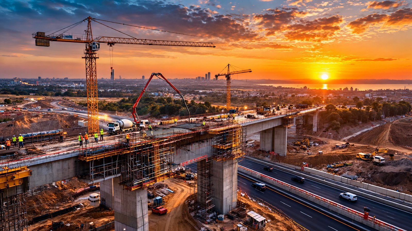
Regular aerial views make construction progress easier to understand for project teams, owners and investors. A useful monitoring programme relies on repeatable viewpoints, a realistic schedule and well-organised files that can be compared over time.
What is aerial construction monitoring for?
It can show the overall site, document selected milestones and create communication material. It complements existing reports and surveys, but does not replace a technical inspection, certified measurement or supervision by the responsible professionals.
Choose the right format
Aerial photography
Images captured from defined viewpoints make monthly comparisons easier. Keep altitude, orientation and framing consistent when conditions allow.
Video and timelapse
A short video communicates site layout and access. A timelapse combines scheduled captures to show change over time. Consistent dates, angles and weather conditions are key to a useful result.
Build a reliable routine
Agree on the site boundary, frequency, viewpoints, file formats, naming convention and recipients. Coordinate each visit with the site manager, follow site rules and verify required permissions before flight. Dated delivery folders and a backup plan make ongoing review easier.
Frequently asked questions
How often should flights take place?
Frequency depends on construction pace and reporting needs. Monthly visits or milestone captures can work once agreed with the client.
Can a drone replace a land surveyor?
No. Images visually document the site; regulated measurements and inspections should be completed by qualified professionals using appropriate methods.
Can images be compared month to month?
Yes, when viewpoints, framing, timing and delivery standards are planned to stay as consistent as possible.